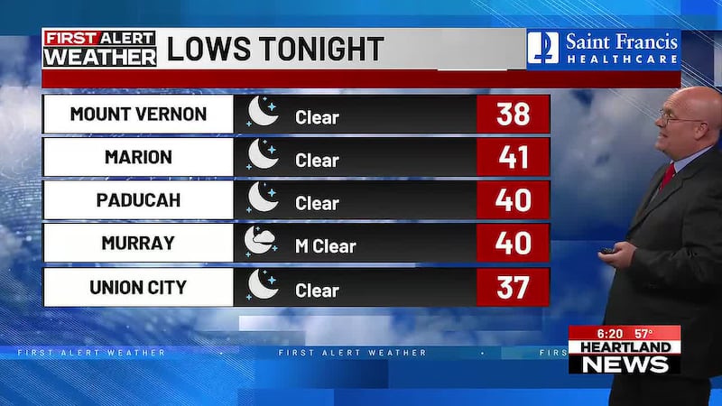
Storms possible tomorrow, big temp swing for Friday
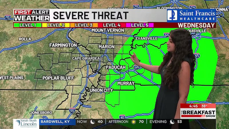
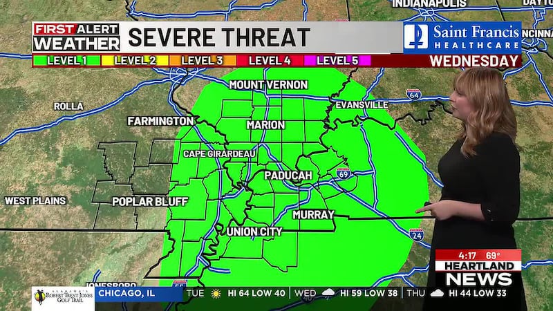
(Heartland News) - As we go through another day with no cloud cover and temps in the 70’s, a big change is on the way for the Heartland. Tomorrow, a cold front is set to arrive in the afternoon. On the leading edge of the front, enough wind is present to possibly force a few thunderstorms. Not a lot of storm fuel or moisture to work with so wind is the main forcing action. A Level 1 Marginal risk is in place for parts of S. IL near the Ohio River as well as Western Kentucky. Again, the primary threat is stronger winds. Breezy conditions will be around already, a few gusts up to 20-25 MPH outside of any storms. One or two storms, if they can fire up, may contain some very small hail (pea to dime size) but not enough for any damage.
The wind does not let up heading into Thursday and Friday with more gusts up to 20-25 MPH. A large and strengthening high pressure airmass in Canada will work in tandem with the cold front and low pressure to bring in another round of cold air this weekend, arguably colder than last weekend. Once the wind calms down Friday evening, lows plummet into the upper 20’s for Friday and Saturday nights. It is possible a few of us see hard freeze conditions for the first time this season.
Copyright 2026 Heartland News. All rights reserved.