First Alert: Warm today, isolated thunderstorms possible Veterans Day
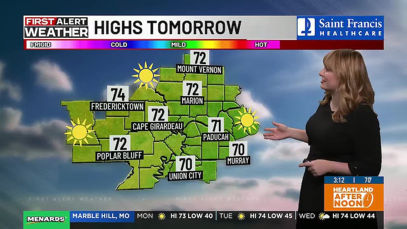
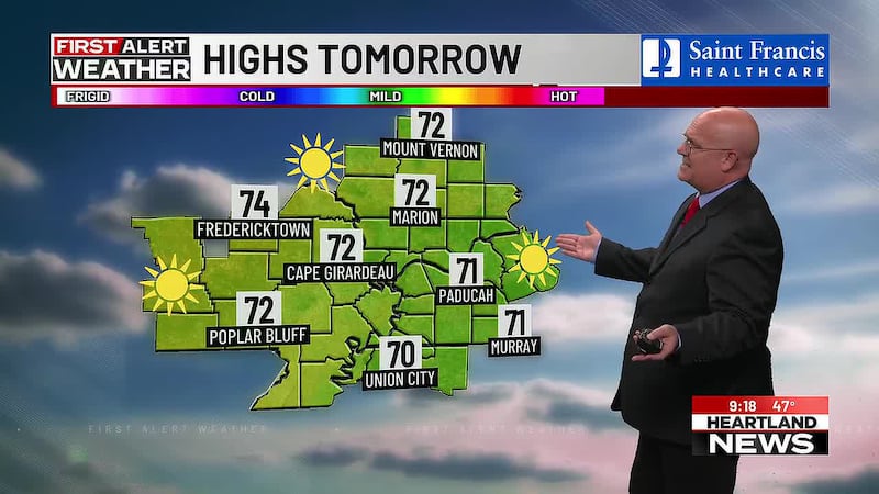
(Heartland News) - One more mild, beautiful fall day in the Heartland ahead of another cooldown.
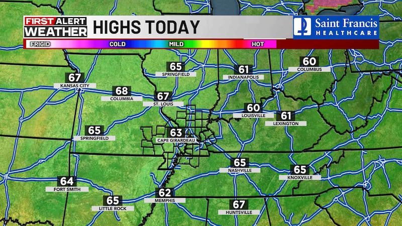
Temperatures this afternoon will again be above average in the low 70s under sunny skies.
Clouds will begin to build up ahead of a cold front on Veterans Day.
Rain and isolated thunderstorms are possible.
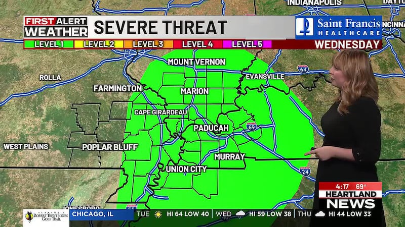
Most areas will not get rain, but there is a slight risk of severe storms.
Most of western Kentucky, portions of southern Illinois and Weakley County, Tennessee, are outlooked at a threat level 1 out of 5 for severe storms.
Damaging winds will be the main threat.
Stay with the First Alert Weather Team and the First Alert Weather App for updates.
Afternoon highs will still reach the upper 60s and low 70s on Wednesday, but temps will drop 20 to 25 degrees after the front moves through the Heartland.
Highs on Thursday will be in the 50s, but it will feel much colder with gusty northerly winds.
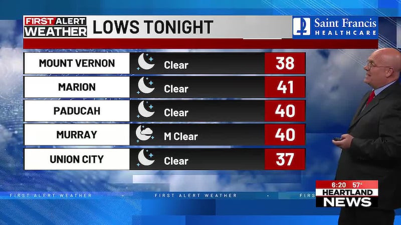
Friday will be even colder, with lows near or below freezing and highs struggling to reach the upper 40s to low 50s.
Copyright 2026 Heartland News. All rights reserved.